Zoning History of East Moreno Valley
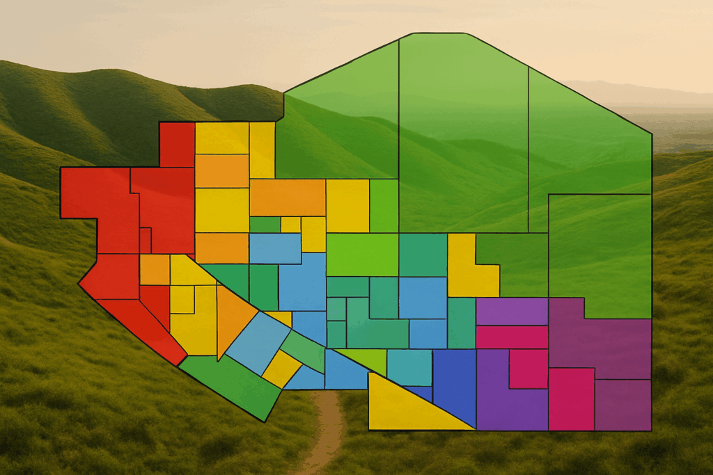
This blog features community commentary, editorial opinions, visual interpretations, and based on publicly available documents. Some images, whether labeled or stylized, are included for advocacy and awareness purposes. They may not represent final or official development plans.

Why the Hills East of Moreno Valley Were Zoned Rural: A Historical Perspective
The zoning history of east of Moreno Valley, north of the 60 freeway, has long been designated for rural use. For many concerned homeowners, this area represents beautiful open space and a deliberate planning decision to preserve safety, character, and the environment. To understand how this came to be, we need to look at the history of zoning and land use planning in this part of the Inland Empire.
Topography and Limited Infrastructure
The foremost reason for rural zoning is the natural terrain. These hills, part of the San Timoteo Badlands, are steep, rugged, and prone to landslides. The nearby San Jacinto Fault shapes their geology, making grading and large-scale development not only expensive but also risky.
When Moreno Valley was incorporated in 1984, this area remained largely undeveloped, with ranch lands and scattered large-lot homes. Infrastructure was limited. Bringing in sewer lines, roadways, and utilities would have required extensive excavation and cost, which the city wisely avoided. Rural Residential zoning was a natural fit, often requiring 2.5-acre or even 5-acre minimum lot sizes. Development density was tied to slope, ensuring that the steepest hillsides remained untouched.
Fault Line Hazard Zone
Another critical factor that shaped planning decisions is the San Jacinto Fault, which runs along the eastern edge of Moreno Valley. This active fault system is considered one of the most dangerous in Southern California. State law requires local governments to regulate construction in designated Alquist-Priolo Earthquake Fault Zones, which are explicitly mapped to prevent building directly atop active faults.
This seismic risk further discouraged dense development in areas east of Nason Street and into the Badlands. Planners understood that even if the land could technically support buildings, placing large homes in a high-risk seismic area would pose long-term safety issues and liability. Zoning for rural use was a prudent way to minimize exposure while still allowing limited, large-lot development in safer areas.
Fire Risk and Environmental Sensitivity
Aside from the terrain and seismic hazard, planners also recognized that the area posed serious wildfire dangers. Covered in chaparral and dry brush, the hills are part of a wildland-urban interface. Keeping residential density low was not only a practical decision but a safety measure. Sparse development allows for better evacuation and reduces fire spread potential.
The area is also home to various sensitive plant and animal species. As development swept westward across Moreno Valley and the surrounding Inland Empire, these species were gradually pushed eastward into the remaining habitat in the foothills and canyons. Today, the Badlands are one of the last intact wildlife corridors in western Riverside County. Species such as the burrowing owl, coastal California gnatcatcher, Los Angeles pocket mouse, and Stephen’s kangaroo rat depend on the open grasslands and scrub found here. Portions of the hills are now protected under the Western Riverside County Multiple Species Habitat Conservation Plan (MSHCP), ensuring these threatened and endangered species have room to survive.
Zoning the area as rural helped prevent habitat fragmentation and reflected the city and county’s responsibility under state and federal conservation laws.
Planning Vision and Community Values
Historical documents from both Riverside County and the City of Moreno Valley show that these rural designations weren’t accidental. The Reche Canyon/Badlands Area Plan emphasized agricultural, open space, and rural residential uses. The County envisioned the hills as a natural buffer between cities, a “community separator” to prevent urban sprawl.
When Moreno Valley updated its General Plan in the early 2000s, it down-zoned certain areas north of the 60 freeway to maintain rural character. City leaders at the time understood that preserving open hillsides added long-term value—scenic views, cleaner air, and a quieter way of life. Public input played a role, too. Residents favored low-density zoning and large-lot homes over crowded subdivisions.
A Legacy Worth Protecting
The rural zoning of the eastern hills resulted from thoughtful planning, local values, and practical realities. Rather than forcing urban sprawl into an unsuitable environment, city and county officials preserved a natural edge to the community, one that enhances the quality of life for nearby residents.
Today, those same hills remain open and scenic because of that foresight. As development pressures rise, it’s worth remembering why these areas were set aside in the first place: seismic risk, fire danger, environmental protection, and the desire to preserve a rural character that still defines much of East Moreno Valley.
References
California Department of Fish and Wildlife. Special Animals List and Wildlife Habitat Data for Western Riverside County.
City of Moreno Valley. General Plan 2040 – Land Use Element. Adopted June 2021.
Riverside County Planning Department. Reche Canyon/Badlands Area Plan.
Riverside County Transportation & Land Management Agency. Slope Density Standards for Hillside Development.
California Geological Survey. Alquist-Priolo Earthquake Fault Zoning Maps.
California Department of Forestry and Fire Protection (CAL FIRE). Fire Hazard Severity Zone Maps.
Western Riverside County Regional Conservation Authority. Multiple Species Habitat Conservation Plan (MSHCP).
U.S. Geological Survey (USGS). San Timoteo Badlands Geologic Map and Landslide Inventory.
